The hike from Myrdal to Flåm takes you through a checklist of Norwegian scenery: fjords, waterfalls, snow-capped mountains, cheerful red houses in sweeping green fields…
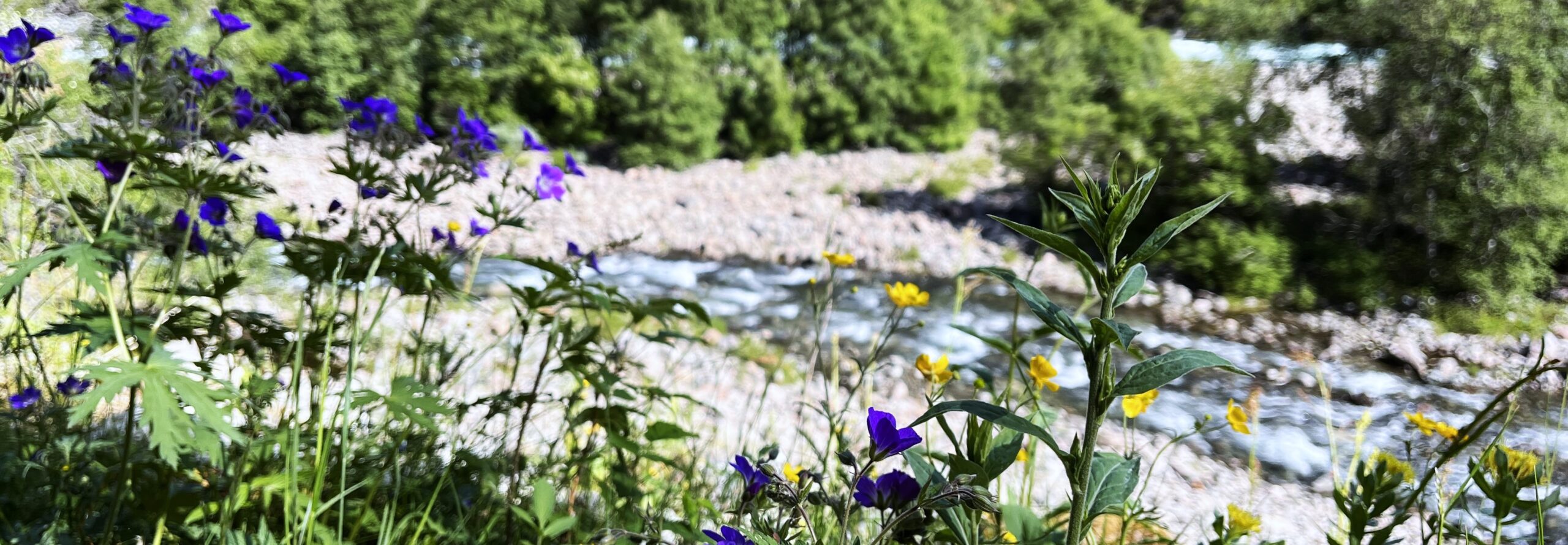
A fast-flowing river snakes alongside much of the path, its water crystal clear and glacially cold. You will pass waterfalls of all sizes – meltwater from the snowy mountains above you – some just a trickle and some a great rush of sound, emitting icy droplets as they splash into the river. The edges of the path are flecked by bright buttercups and purple geraniums. The air is fresh and clear.
How long is the hike from Myrdal to Flåm?
The hike is about 12 miles. It slopes gently downhill all the way, other than a steep zigzagging section at the beginning. It took us about six hours at a fairly leisurely pace, including a stop for a picnic lunch.
Preparing for the hike
What to wear
The hike from Myrdal to Flåm is fairly long so you should wear comfortable clothes, ideally sports clothes. I wore walking boots but the ground is generally either paved or stony so is it doable in trainers. If it’s wet, bring a waterproof, and if it’s cold bring a fleece. But make sure you can carry them for any parts of the hike you don’t need them.

What to bring
You will need to bring food with you as there is nowhere to stop along the way other than a goat farm towards the start. That doesn’t open until 11am so if you are intending to start the hike early it will still be closed when you pass it. What’s more, Myrdal does not have any shops either so you will need to be super prepared. We bought our food in a supermarket in Bergen the day before and brought it on the train to Myrdal.
What to download
The hiking route is easy to follow. That said, I would suggest downloading an offline Google map of the area just in case. If you use AllTrails, you could ensure the map has loaded (or download it if you have a subscription).
What to see along the hike
Flåm zipline viewpoint
You start the hike from Myrdal to Flåm by passing the top of the Flåm zipline. This zipline is 1300m long and is the longest in Scandinavia. At the zipline station is a viewpoint from which you can see the river bending its way through the valley, marking the route for the hike.

Twenty-one bends
Next, you descend a steep, narrow road, swerving around twenty-one hairpin bends. Tall trees shade the road on either side. Occasionally a quadbike passes, shuttling between the top and bottom of the zipline.
Goat farm
Near the end of the zipline is a goat farm. The goats roam around freely and there is a small café which sells various goats cheeses.
Kårdalsfossen
You then cross the river on a steel bridge above Kårdalsfossen, a shallow waterfall. The river’s depth is not to be taken lightly though. The force of the river sends white spray flying.
Høgabru cave waterfall
This does what it says on the tin. It’s a waterfall from part of the river which passes through a cave. It’s an unusual sight and another example of how Norway’s nature doesn’t do things by halves.
Berekvam station
There’s nothing of note here other than toilets! Various toilets appear along the route on Google maps but we didn’t actually see any other than the ones at this station. So they were a welcome find!

Flåm kyrkje
You will know you are nearing Flåm when you pass Flåm church. This is a tiny building constructed of brown wooden slats, with a tower shaped rather like a witch’s hat, pointing high into the air. Neat rows of gravestones surround the church.
It’s about an hour’s walk from Flåm church to central Flåm. Read more about Flåm here.
Final thoughts on the hike from Myrdal to Flåm
Although the hike from Myrdal to Flåm is a popular route, meaning it’s unlikely you will have the path to yourself, in my opinion it ticks all the boxes for a perfect hike. It’s long enough that it’s a whole day’s activity but not too strenuous due to sloping downwards all the way. The scenery is unrelentingly beautiful. It’s a truly wholesome day out.
